Scroll down to view an interactive map of the nine bus routes that run through Tenleytown and American University.
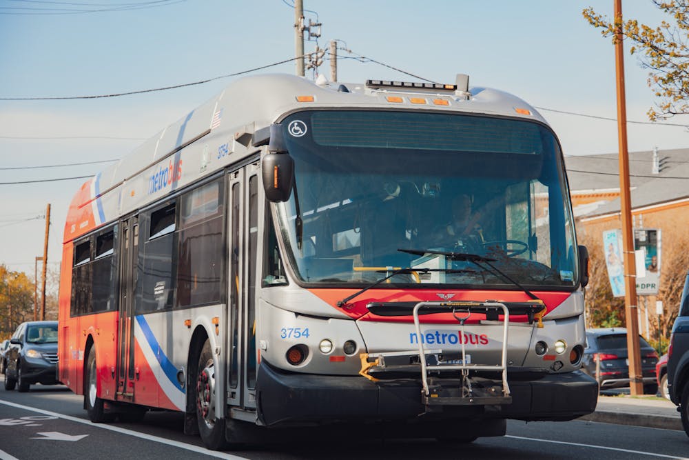
The Washington Metropolitan Area Transit Authority replaced all of its bus routes on June 29, the first major overhaul of the network since it began operation 50 years ago.
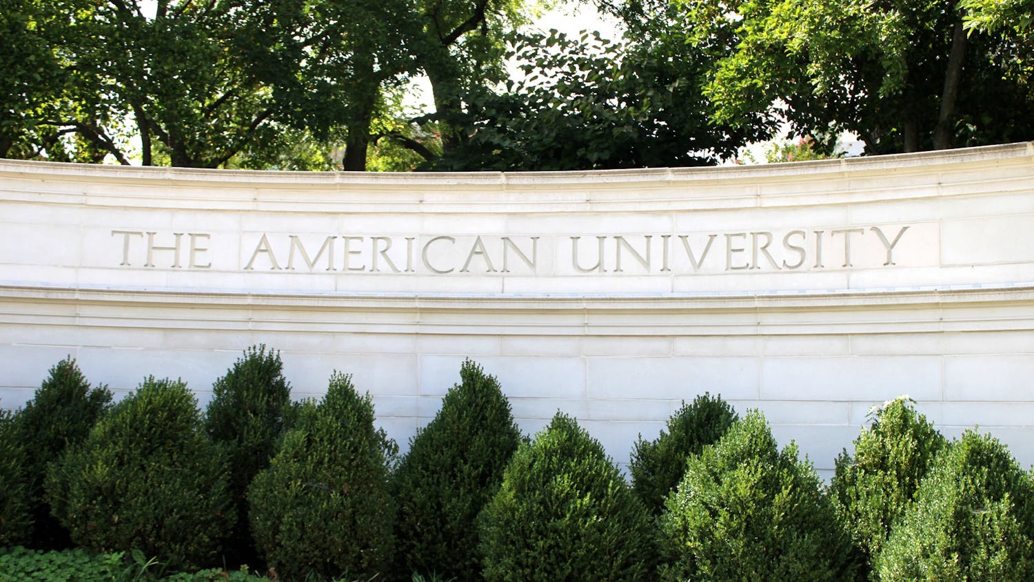
Nine “Better Bus” routes replaced existing routes through American University and Tenleytown. Many routes across the network have been optimized, according to Metro, while others have kept the same path of prior routes. All routes have been renamed.
Many of the new routes resemble existing ones familiar to AU students. Some routes will provide or expand direct access between AU’s campus and areas popular with student renters. The number of routes in Metrobus’ frequent service network near the University will double.
Redesigned bus numbers
Route IDs will now have a uniform, three-digit format. The first letter will indicate the area served by the route:
- “A” for Alexandria and Arlington, Virginia
- “C” for crosstown and “D” for downtown/uptown in D.C.
- “F” for Fairfax City, Fairfax County and Falls Church, Virginia
- “M” for Montgomery County, Maryland
- “P” for Prince George's County, Maryland
Express routes — which stop fewer times than regular routes — have an “X” as the last character, and “primary” routes — along major transit corridors — have a 0 at the end. The D80, for example, is the primary route along Wisconsin Avenue NW.


Getting to campus
Three routes — the C81, D90 and D96 — provide service directly to the University’s main campus. The C81 and D90 also connect the campus with Tenleytown via Nebraska Avenue NW.
The C81 is meant to replace the current M4. Starting from Sibley Hospital, it travels along Nebraska Avenue NW to Fort Totten.
The D90 and D96 are replacing the N2, N4 and N6 — with some changes.
The D90 takes Massachusetts Avenue NW from Mt. Vernon Square, then Cathedral Ave, New Mexico Avenue and Nebraska Avenue through AU’s campus to Tenleytown. It will run every 20-30 minutes.
The D96 takes Wisconsin Avenue from Bethesda to Friendship Heights, then Western Avenue to Massachusetts Avenue NW through Spring Valley. After it passes the University’s main campus and the apartment buildings on Massachusetts Avenue, it will weave through Glover Park, Dupont Circle and Farragut Square. During weekday rush hour, it will run every 20 minutes, then every 30 minutes late at night and on weekends.
Connecting through Tenleytown
Six routes provide access to Tenleytown but not the University’s campus:
- C51 - Between Tenleytown and Anacostia, via Cathedral Heights, Woodley Park, Adams Morgan, U Street, Union Station and Potomac Avenue
- C61 - Between Tenleytown and Brookland/Catholic University of America, via McLean Gardens, Cleveland Park, Columbia Heights and Washington Hospital Center
- C85 - Between Chevy Chase and Foggy Bottom, via Cathedral Heights, Glover Park and Georgetown
- C87 - Between Silver Spring and Van Ness, via 16th Street and Nebraska Avenue NW, plus rush-hour trips to Mount Pleasant
- D80 - Between Friendship Heights and Union Station, via Cathedral Heights, Glover Park, Georgetown, the West End and Downtown
- D82 - Between Friendship Heights and Foggy Bottom, via Cathedral Heights, Glover Park and Georgetown
Metro added the new routes to its trip planner for riders to map out their commutes. To view results for the new routes, make sure to select June 30 for weekday travel, July 5 for Saturdays and June 29 for Sundays.
The transit agency also made new system maps, route profiles and neighborhood bus profiles — such as this one for Tenleytown.
Metro also rolled out on May 28 tap-to-pay with credit or debit cards and mobile wallets across all of its services on Metrorail and Metrobus. That means riders no longer need a SmarTrip card or U-Pass to pay fares, even if they use Apple Pay or Google Pay.
Riders can tap a credit or debit card like a SmarTrip card or U-Pass, or tap their phone with Apple Pay or Google Pay without adding a transit card to their mobile wallet.
The Better Bus Network Redesign, as the project is officially named, was announced in November 2024 after Metro solicited feedback from nearly 45,000 people and launched a large public information campaign to educate riders about the changes.
The plan reflects what the agency called “a financially constrained network,” in comparison to its Visionary Network, which would improve frequency and add routes but cost 35 percent more than the Better Bus plan. In a press release, Metro said it “wants to someday implement the Visionary Network but doesn’t currently have the funding to do so.”
Still, the new network is supposed to improve bus efficiency and ease of use. Metro is reducing 500 “underused” bus stops — about 5 percent of the Metrobus network — to speed up travel times. It added 11 stops to its frequent service network, which includes routes that run buses every 12-20 minutes or less.
Four of the new routes in the Tenleytown–AU area are in the frequent service network. Previously, just two — the 31 and 33 — were in the old network.
The C61 and D80 will run every 12 minutes on average. During rush hour, the D80 may come as often as every 6-10 minutes. The C51 and C81 are scheduled every 20 minutes during rush hour, up to 30 minutes during off-peak hours.
Metrorail will also see changes
The buses aren’t the only ones getting an upgrade. Metrorail service on Sunday got expanded weekend hours and increased workday rush-hour frequency.
The Metrorail system will now open at 6 a.m. Saturdays and Sundays and will close at 2 a.m. Friday and Saturday nights.
On the Red Line, “trains will run at least every 4 minutes (up from every 5 minutes) during the busiest portions of weekday rush hours,” Metro said in a press release.
The Silver Line will now fork when it crosses from D.C. over the Anacostia River, with one half following the Orange Line to New Carrollton and the other half following the Blue Line to Downtown Largo.
In December, every other Yellow Line train will extend from Mt. Vernon Square north to the end of the Green Line at Greenbelt, the transit authority said.
On June 15, Metro rolled out Automatic Train Operation to the Blue, Orange and Silver lines. The transit agency explained it’s “like autopilot” for trains and has been in use on the Red Line since December 2024.
The mode creates a smoother ride by allowing a computer to control the speed, braking and acceleration, while a human train operator oversees everything in the cab.
It’s supposed to speed up train service, but trains need to slow down during hot weather because rails can expand under extreme heat, Metro said on X. Heat can slow down buses, too, Axios D.C. reported last July.
This article was edited by Gabrielle McNamee, Abigail Hatting and Walker Whalen. Copy editing done by Sabine Kanter-Huchting.